
PoH-Code: poh.10424
Cemetery of the Fallen of Dolenjske Toplice
—
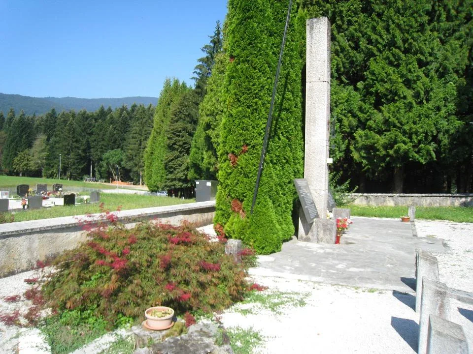
partizanstvo.si / Arhiv Geopedia · CC-BY 4.0 (privzeta licenca) · Preneseno iz Geopedije.
At the cemetery in Dolenjske Toplice, a monument dedicated to 41 known and 20 unknown combatants stands at the south-western corner of the old part of the cemetery, including 6 combatants from the Italian Fontanotte Brigade and 16 victims.
In the center of the stone plaza made of Venetian paving, a column of grey urban marble measuring 50 x 50 x 500 cm stands, with a copper star made of forged steel, wrapped with a laurel branch and the inscription 1941–1945. The plaza is bordered by granite edges and six stone pillars measuring 25 x 25 x 50 cm.
At the back of the monument are two flower beds. On the left is a red maple tree, and on the right is a group of cypresses.
On each side of the column are granite slabs made of Pohorje tonalite measuring 100 x 75 x 5 cm with inscriptions, mounted on bases made of urban marble.
To the left of the plaza is a field with fifteen concrete pillars symbolizing combatants. In the left corner is a concrete block with a built-in marble plaque with an inscription.
The monument was designed by architect Anton Valentinčič on 15 September 1963 and erected by the People's Liberation Army and Partisan Liberation Army of Dolenjske Toplice, and restored in 1993. Today, the monument is maintained by the Municipal Association of Veterans for the Values of the People's Liberation Army of Dolenjske Toplice.
EŠD 4197
Translation · AI tier 7
Sources
- Partizanstvo.si — Partizanski spomeniki (#3891) (e98e1f23-34b9-479a-9464-1577371718cb) — Partizanstvo.si — Partizanski spomeniki (#3891)
Links
Location & map
Map position available (Point) · spatial accuracy: 4 — Accurate
Textual location description
Iz Dolenjskih Toplic peljemo v smeri Podturna. Takoj za zadnjo hišo v naselju leži na levi strani ceste na gričku, imenovanem Fuksova resa, pokopališče. Grobišče leži na jugozahodnem delu starega dela pokopališča. KOORDINATE: N 45º 45' 06,12"; E 015º 03' 17,01"
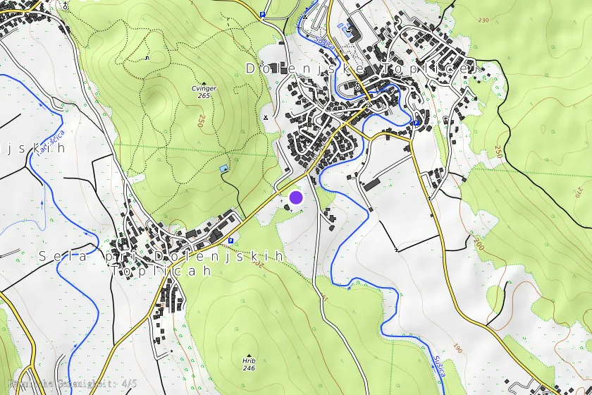
Coordinates (WGS84)45.75171° N, 15.05471° E